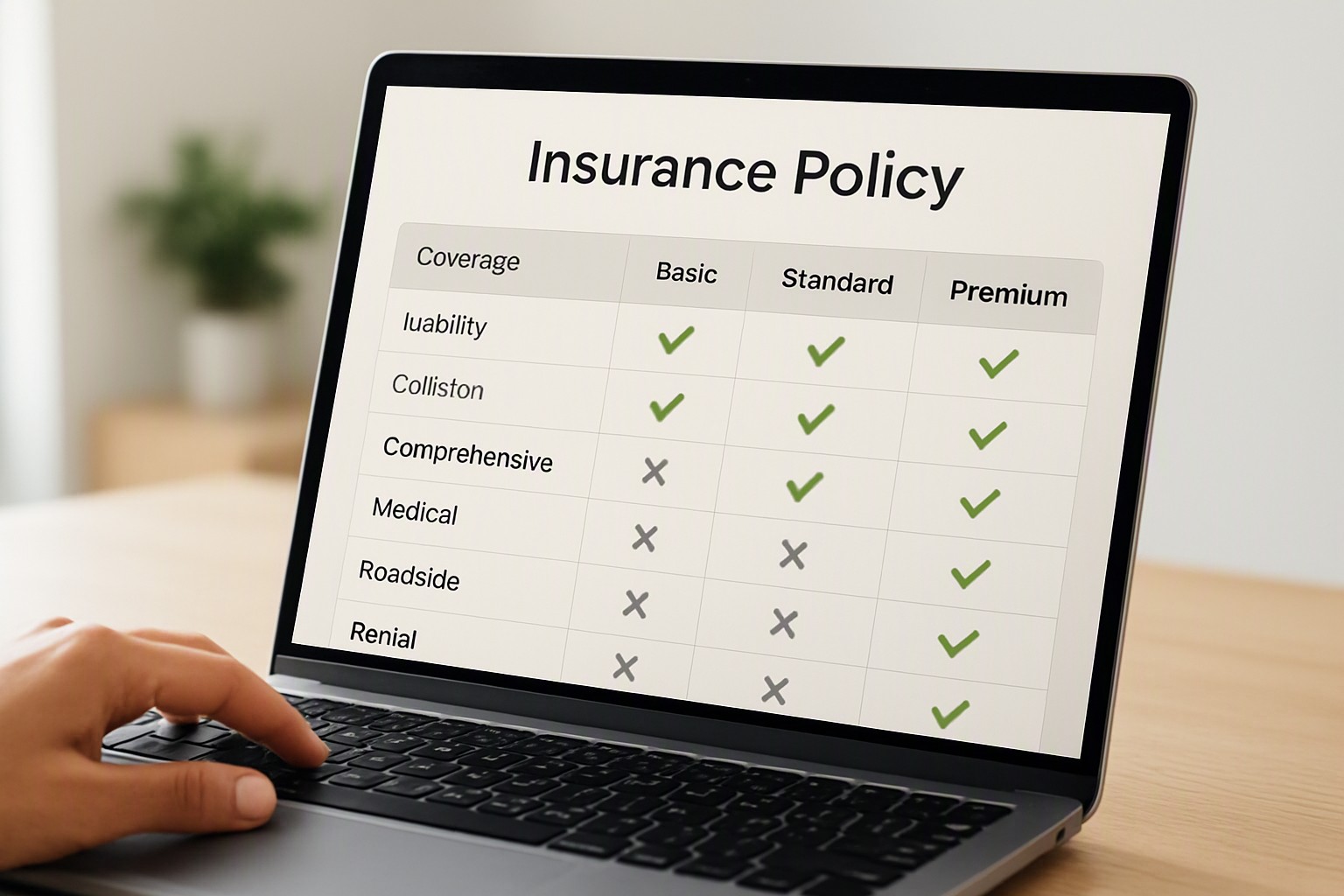
 Policy Comparison Interface Colors
Policy comparison interface colors must prioritize high-contrast neutral foundations paired with restrained semantic accents—such as soft green for in…
CT
ColorFiind Team
3 Oct 2026 · 5 min read
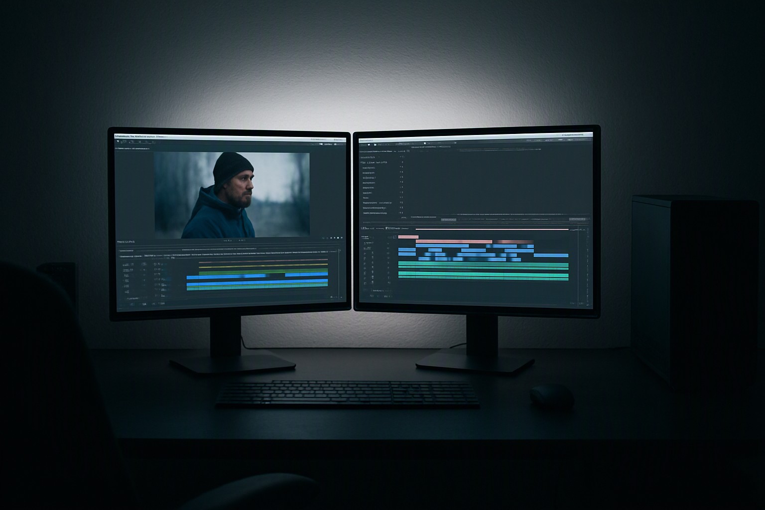 Which color is best for video Editor
For professional video editing, the best interface color is a neutral mid-gray (around 50% brightness), while the best color grading environment relie…
CT
ColorFiind Team
3 Oct 2026 · 4 min read
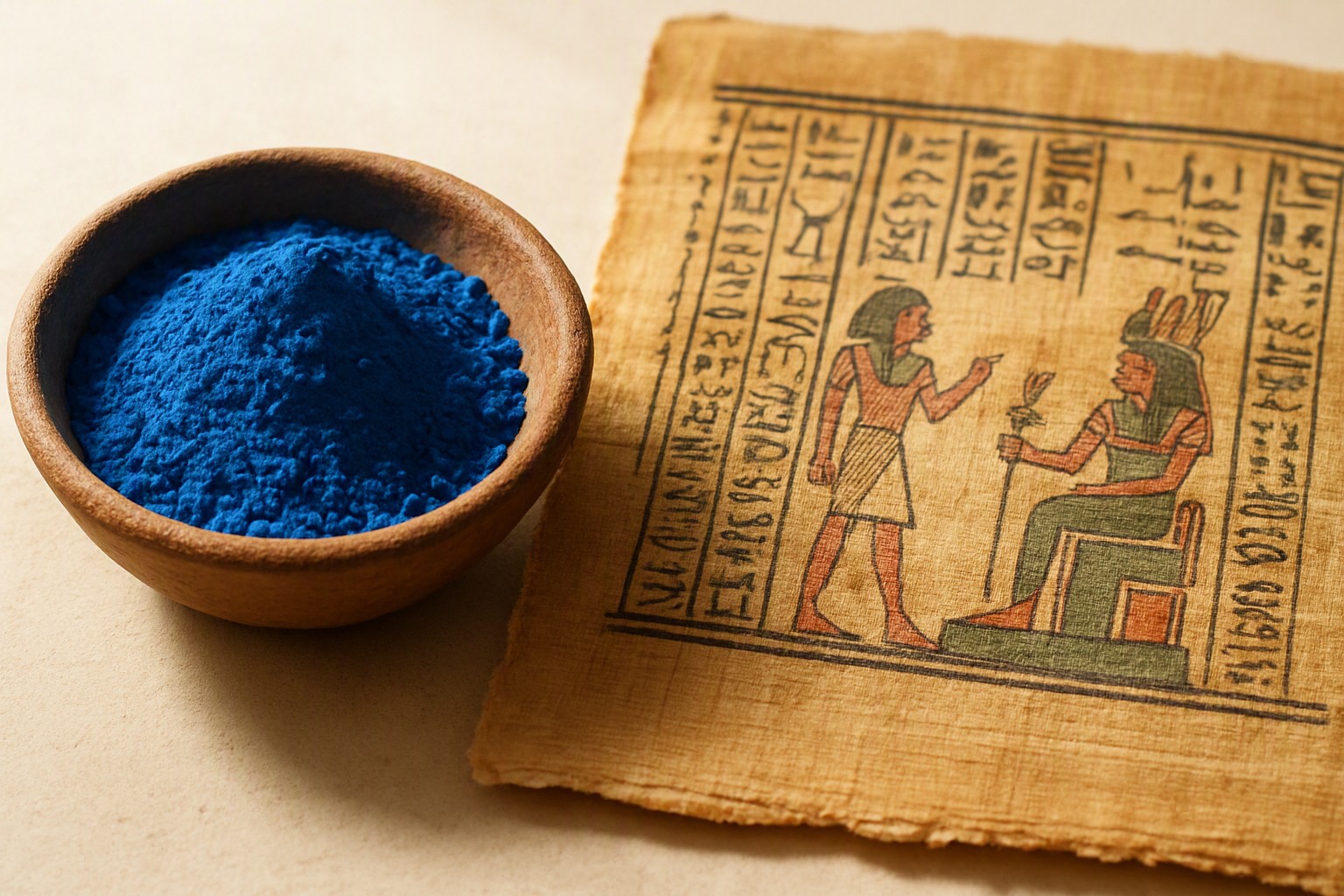 Did the color blue exist in ancient times?
The color blue physically existed in nature long before humans evolved. Ancient languages often lacked a specific word to describe it. They treated sh…
CT
ColorFiind Team
2 Oct 2026 · 5 min read
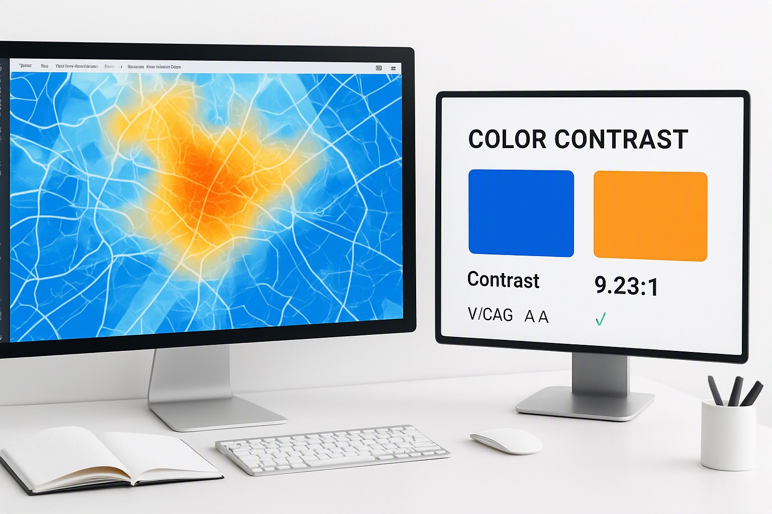 How to Design Accessible Geospatial Heatmap Color Palettes
To design accessible geospatial heatmap color palettes, use perceptually uniform, monochromatic or scientifically optimized diverging color ramps that…
CT
ColorFiind Team
30 Sep 2026 · 4 min read
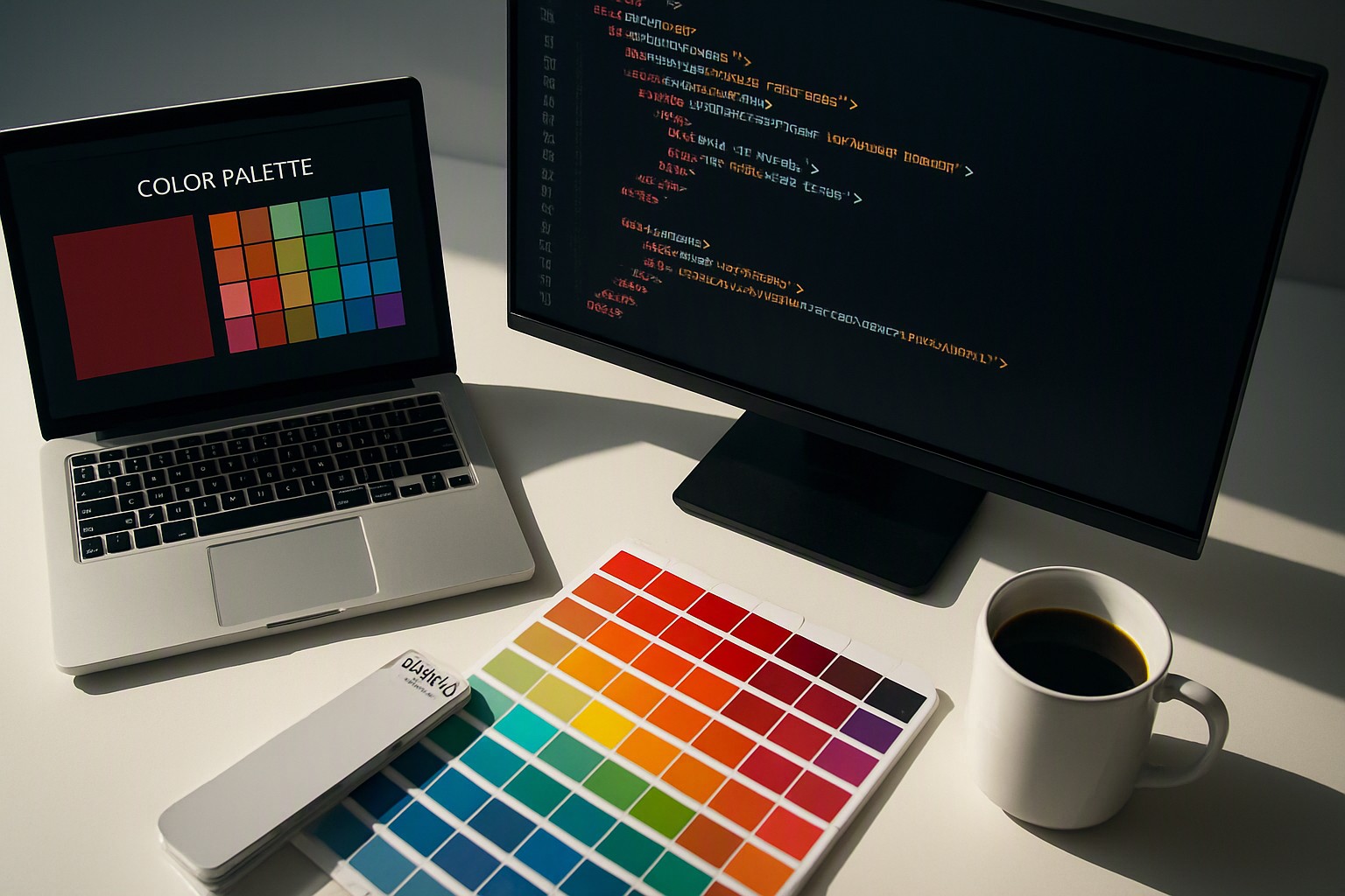 Find color from website
To find a color from a website image, upload your screenshot or graphic into a dedicated color picker tool that instantly samples individual pixels to…
CT
ColorFiind Team
29 Sep 2026 · 4 min read
Recycling and Disposal Instruction Colors
Recycling and disposal instruction colors use standardized color codes—typically blue for dry recyclables, green for organics, and black or grey for l…
CT
ColorFiind Team
28 Sep 2026 · 5 min read
 Maps and geospatial colour
Decoding Air Quality Map Color Systems for Better Public Health An editorial guide to understanding environmental visualization tools, index levels, a…
CT
ColorFiind Team
14 Sep 2026 · 5 min read
 Maps and geospatial colour
Wildfire Monitoring Map Colors Mastering visual palettes ensures emergency responders and analysts interpret fire intensity, smoke dispersion, and eva…
CT
ColorFiind Team
14 Sep 2026 · 5 min read
 Maps and geospatial colour
Geospatial Heatmap Color Choices Mastering visual density and human perception requires intentional planning when building a tableau geospatial heat m…
CT
ColorFiind Team
13 Sep 2026 · 5 min read
 Maps and geospatial colour
GIS Layer Control Color Systems Mastering color systems for map layers enhances spatial data interpretation, reduces cognitive load, and ensures profe…
CT
ColorFiind Team
13 Sep 2026 · 5 min read
 Maps and geospatial colour
Crop Health Map Color Coding Mastering visual palettes transforms raw satellite imagery into actionable agronomic insights for modern farm management.…
CT
ColorFiind Team
12 Sep 2026 · 5 min read
 Maps and geospatial colour
Agriculture Monitoring Platform Color Design Mastering color psychology and high-contrast data visualization to build intuitive dashboards for modern…
CT
ColorFiind Team
12 Sep 2026 · 7 min read